What it is
The hill closes the eastern end of the bay. There was a citadel on top for centuries, and the city grew beneath it, which is why the old town sits exactly where it does.
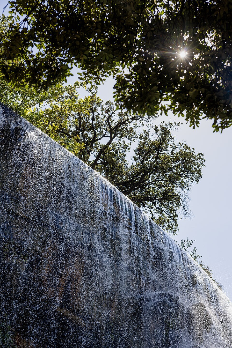
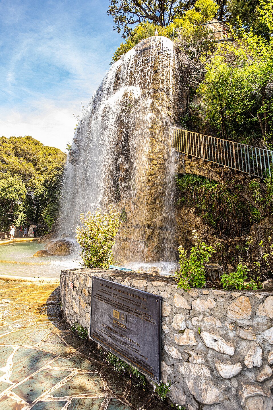
The castle is gone. Louis XIV's forces took the city and demolished the fortifications in 1706, and what is up there now is a park laid out over the ruins — terraces, umbrella pines, and an artificial waterfall built in the nineteenth century.
The view
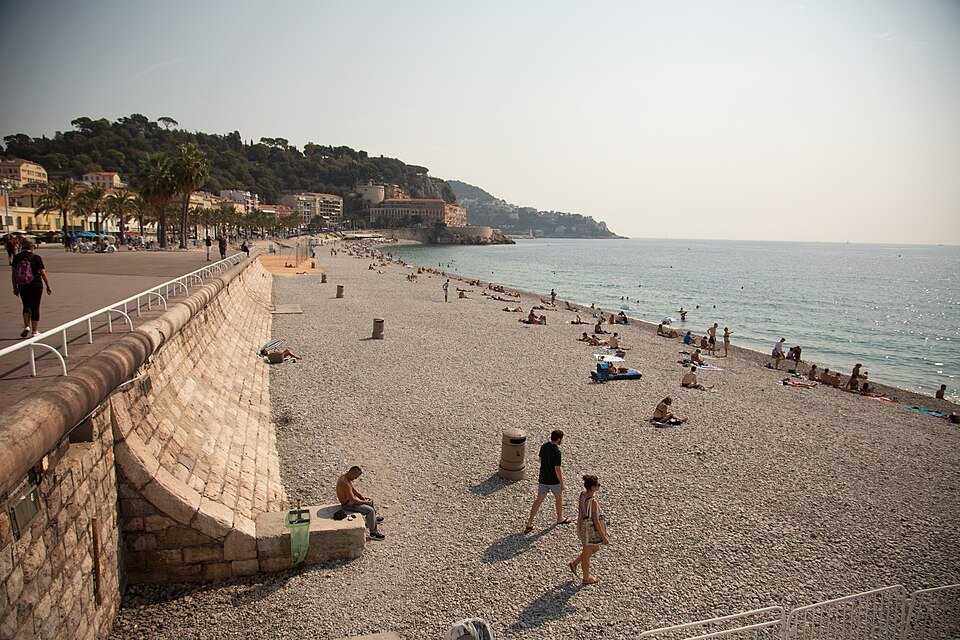
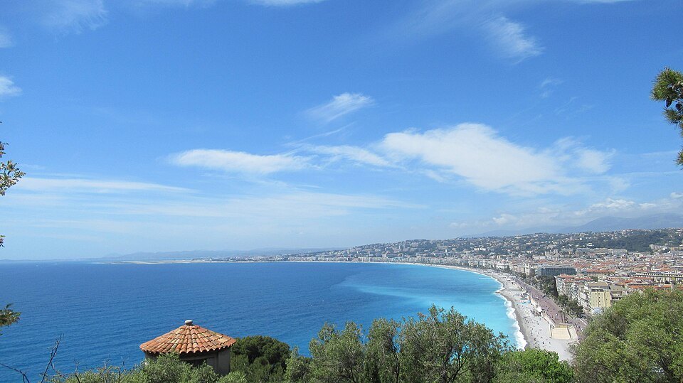
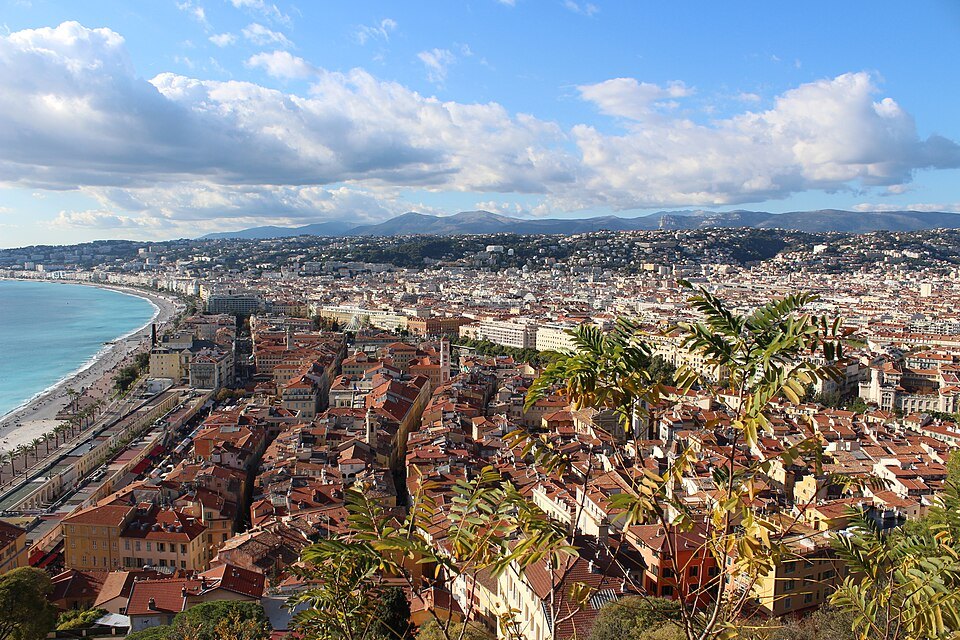
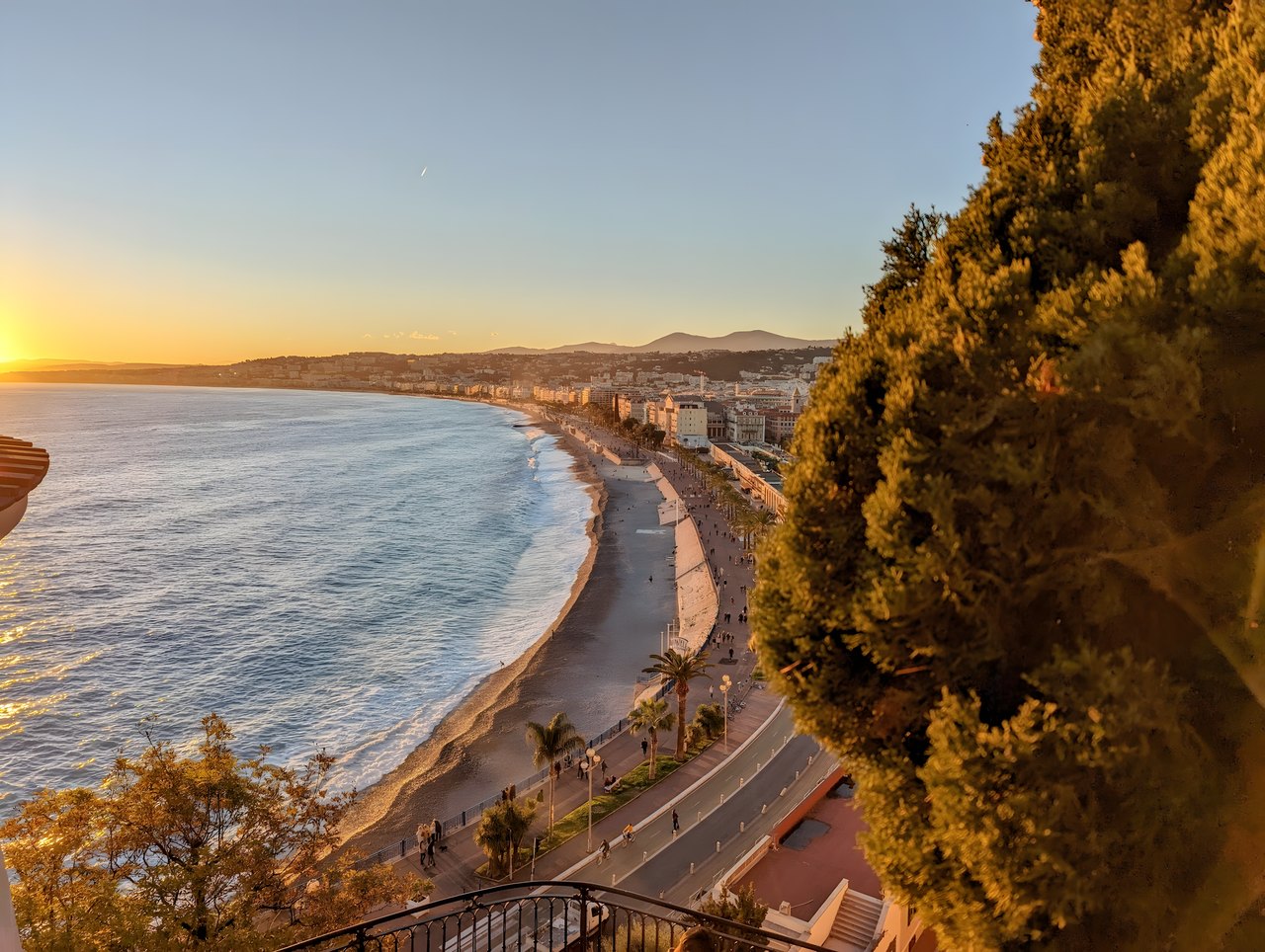
From the terraces you see the whole Baie des Anges curving away west, the terracotta roofs of the old town directly below, and on the other side the masts of Port Lympia. It is the single view that makes sense of how the city is put together.
You can walk up through the old town, or take the lift near the eastern end of the Quai des États-Unis.
A town on a rock
The hill is a limestone rock 93 meters high, and for centuries it was not a park but the town itself. Its summit has two levels: the higher southern plateau, where a castle stood for some seven hundred years, and a slightly lower plateau to the north. Records of the eleventh century already describe a fortified settlement up here with a cathedral and houses, and until the thirteenth century the whole of Nice was confined to the hilltop. Only later did people move down to the ground below, the area that is now the old town, and the cathedral followed them to Sainte-Réparate.
After Nice placed itself under the House of Savoy in 1388, the hill became a strategic prize: a lookout, a guard on the sea approach and a lock on the border between France and Italy. The fortifications were rebuilt for artillery in the sixteenth century, the upper town was emptied of civilians, and a full citadel with bastions was laid out on the northern plateau. Writers of the period called it impregnable, one of the principal fortresses of Europe.
Three sieges
In 1543 Nice was besieged by the troops of François I of France allied with the fleet of Suleiman the Magnificent. The damage to the northern suburb led Duke Emmanuel-Philibert to replace it with the bastioned citadel. In 1691 the town and castle were taken by Louis XIV's army under Catinat, then returned to Savoy by treaty, and the defenses were strengthened again.
The last siege, during the War of the Spanish Succession, began in the spring of 1705. The town surrendered after a few weeks, but the castle held out. It was finally reduced to ruins by 113 cannon and mortars and capitulated after 54 days of bombardment, on January 4, 1706. Louis XIV then ordered every remaining wall leveled with explosives, down to the foundations, and for six months the blasting went on, destroying much of the old town's architecture as well.
How the ruins became a park
The site was left in ruins for more than a century. In 1822 King Charles-Félix granted the hill to the city on condition that it be made into public walks and plantings, and work began at once: terraces, paths and viewpoints, and thousands of trees and shrubs planted among the broken walls. It was a slow start. Cows and goats were still grazing up here in 1831, and in 1832 the royal chamber of agriculture took over the planting, with the naturalist Antoine Risso choosing trees suited to the climate. The old Saint-Elme tower at the edge of the park was rebuilt in 1844, and the chamber handed the finished park back to the city in 1858.
In the nineteenth century the hill became the first place every wintering aristocrat had to see. Napoleon III, visiting in September 1860 just after Nice became French, is quoted calling it the most beautiful landscape he had ever seen. The waterfall was built in 1885 on the ruins of the keep; it also served as the overflow for the city's first water supply.
What to listen and look for
Every day around noon a loud bang goes off from the hill. It sounds like a cannon, but it is a firework maroon, Nice's traditional midday signal.
A few traces of the fortress survive. Near the excavated foundations of the old cathedral lie large overturned blocks from the castle, and near the belvedere above the waterfall you can see the base of the keep's north wall, still marked by the impact of a cannonball. Down at Place Garibaldi, digging for the tramway in 2007 uncovered a medieval tower and bastions leveled in 1706; they are kept in an archaeological crypt that can be visited, entered from Place Toja.
The rock was fortified one last time in 1943–1944, when German forces cut barracks and access tunnels into it, running from beach level to the top, and placed guns where the elevator now stands. A door to those tunnels is in the cliff to the left of the war memorial on the quay.
The light changes with the time of day, which is why locals call the hill the cradle of the sun: go early for the sunrise over the port on the eastern side, and late for the sunset along the Promenade des Anglais to the west.
Sources