What it is
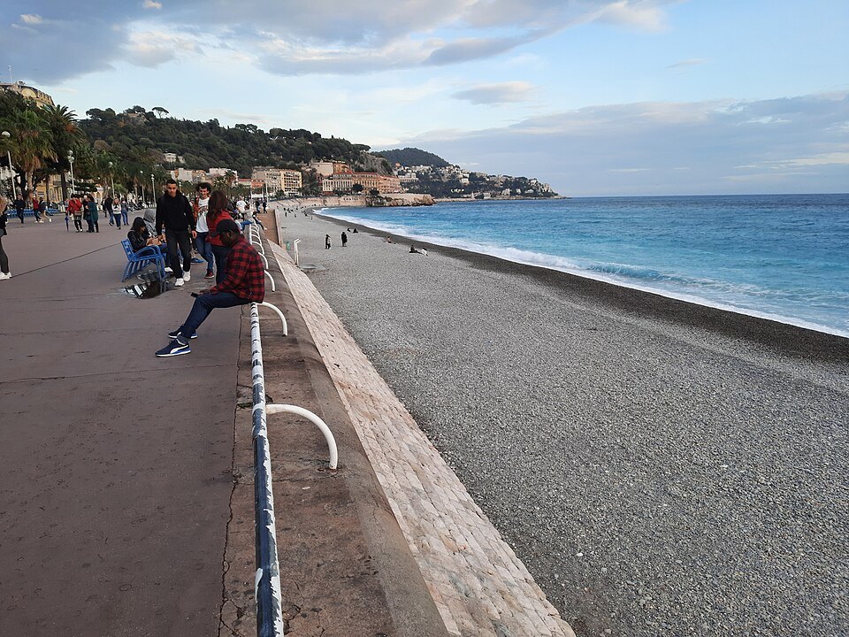
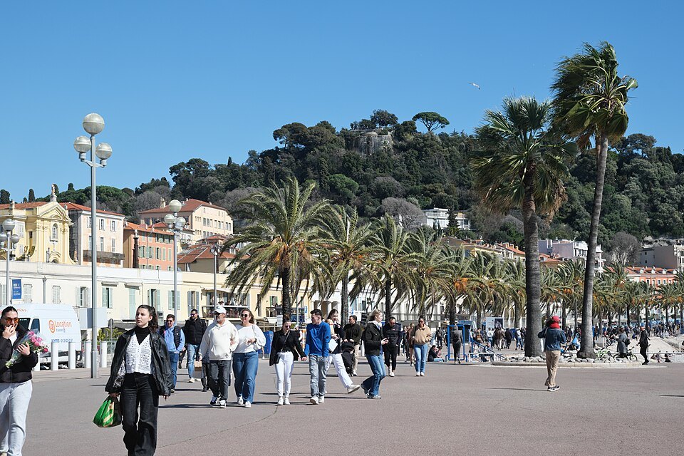
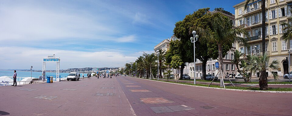
The Quai is the continuation of the Promenade east of the Opéra, where the bay narrows and the castle hill closes it off. The buildings come closer to the water, the scale drops, and the back streets on the inland side are already the old town.
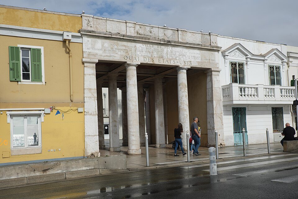
It was renamed in 1917, when the United States entered the war — the name is a thank-you, and it has stayed.
What is on it
Two small galleries sit under the rock at the eastern end, in what were once the city's bathing establishments. The working fishing quay is around the headland at Port Lympia.
This is the best approach to the old town on foot: the lanes off the quay lead straight up into Vieux Nice and come out at the Cours Saleya.
From city wall to seafront terrace
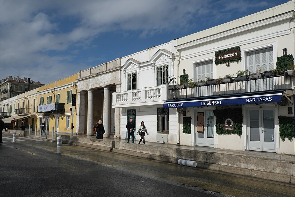
Until 1706 a rampart ran along this shore. When Louis XIV's forces tore down the walls of Nice that year, the town no longer needed to face the sea as a fortress, and planners started to think of the waterfront as a place to walk. In 1731 the city required a long, regular building to be put up here, roofed by a continuous terrace: a raised promenade that took the place of the old wall, running parallel to the Cours behind it. That low line of buildings is still the backdrop of the quay.
The quay itself came a century later. In 1832 the Consiglio d'Ornato, the board that planned the growth of Nice under Sardinian rule, ordered a seafront road along the terrace from the mouth of the Paillon. It was called the Quai du Midi, and its design was precise: a carriageway eight meters wide, two sidewalks of two meters each and a parapet along the top of the sea wall. In 1848 the board added stone benches, three meters long, in front of the theater, and the newly finished terraces became the favorite walk of the aristocrats who wintered in Nice.
The fashion moved west once the two banks of the Paillon were joined by a bridge in 1865, and the smart crowd went over to the Promenade des Anglais. In 1859 the quay had already been connected to the Ponchettes and to the road around the Rauba-Capeù headland, which is the curve you follow today toward the port.
Why it is named for the United States
In 1917 the city council under General François Goiran renamed the Quai du Midi the Quai des États-Unis, to salute the United States entering the First World War on the side of France and its allies. The name has never changed. For a visitor from America it is one of the more unexpected street signs in Europe: a stretch of the French Riviera named in thanks to your country.
Art in the open air
Since 2002 the quay has been used for outdoor exhibitions, with new works installed from time to time. Sculptures by Niki de Saint Phalle appeared here in 2002, followed by works by Pierre Marie Lejeune in 2005 and an installation by Alain Jacquet in 2006. The best known is Bernar Venet's Neuf lignes obliques (Nine Oblique Lines), between the Esplanade Georges-Pompidou and the sea: nine weathering-steel beams, each 30 meters long, leaning together until they meet at the top. The mayor commissioned it for the 150th anniversary of the 1860 annexation, to stand for the nine valleys of the old County of Nice; it was inaugurated on May 31, 2010.
Under the terraces at the eastern end are two small exhibition spaces, the Galerie des Ponchettes and the Galerie de la Marine. Nearby stands Sabine Géraudie's monumental version of the blue chair, the symbol of the Nice seafront.
The war memorial in the rock
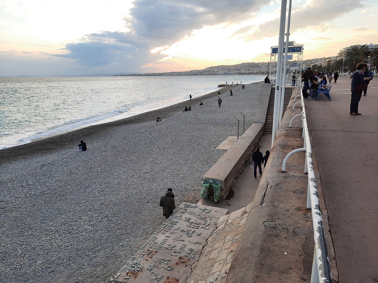
Where the quay bends around the foot of the castle hill toward the port, the road follows the first path ever cut into the rock here, the old chemin des Ponchettes that linked the Cours Saleya with the harbor; it was widened in 1826. The wind at this corner gave it its Niçois name, Rauba-Capèu: the hat-snatcher.
Set into a former quarry face on that corner is the city's First World War memorial. Mayor François Goiran, the same mayor who renamed the quay, decided to build it in 1919. The design by Roger Séassal was approved in 1923, the first stone was laid on November 11, 1924, and Marshal Foch inaugurated it on January 29, 1928. It stands 32 meters high, one of the largest war memorials in France, with two high reliefs by Alfred Janniot, war on the left and peace on the right, and an urn in an arched niche holding the 3,665 plaques of the men of Nice who died in that war. A sundial twelve meters across is engraved in the ground in front of it. In 2018 a carved reliquary in the shape of the Nice eagle, holding the plaques of 2,000 soldiers, was found inside the monument, twenty meters up; nobody had recorded it.
Under the parking lot
Inland from the quay, on the site of a school and a Banque de France building demolished at the end of the 1980s, the city once planned a sea-view town hall. The project was abandoned. When an underground parking garage was built there instead, excavations in 1999 uncovered the foundations of the royal tobacco factory of 1760. In 2013 the open space above was named the Esplanade Georges-Pompidou.
Sources
- Quai des États-Unis — Wikipédia (French)
- Neuf Lignes Obliques — Wikipedia
- Monument aux morts de Rauba-Capeù — Wikipédia (French)