What it is
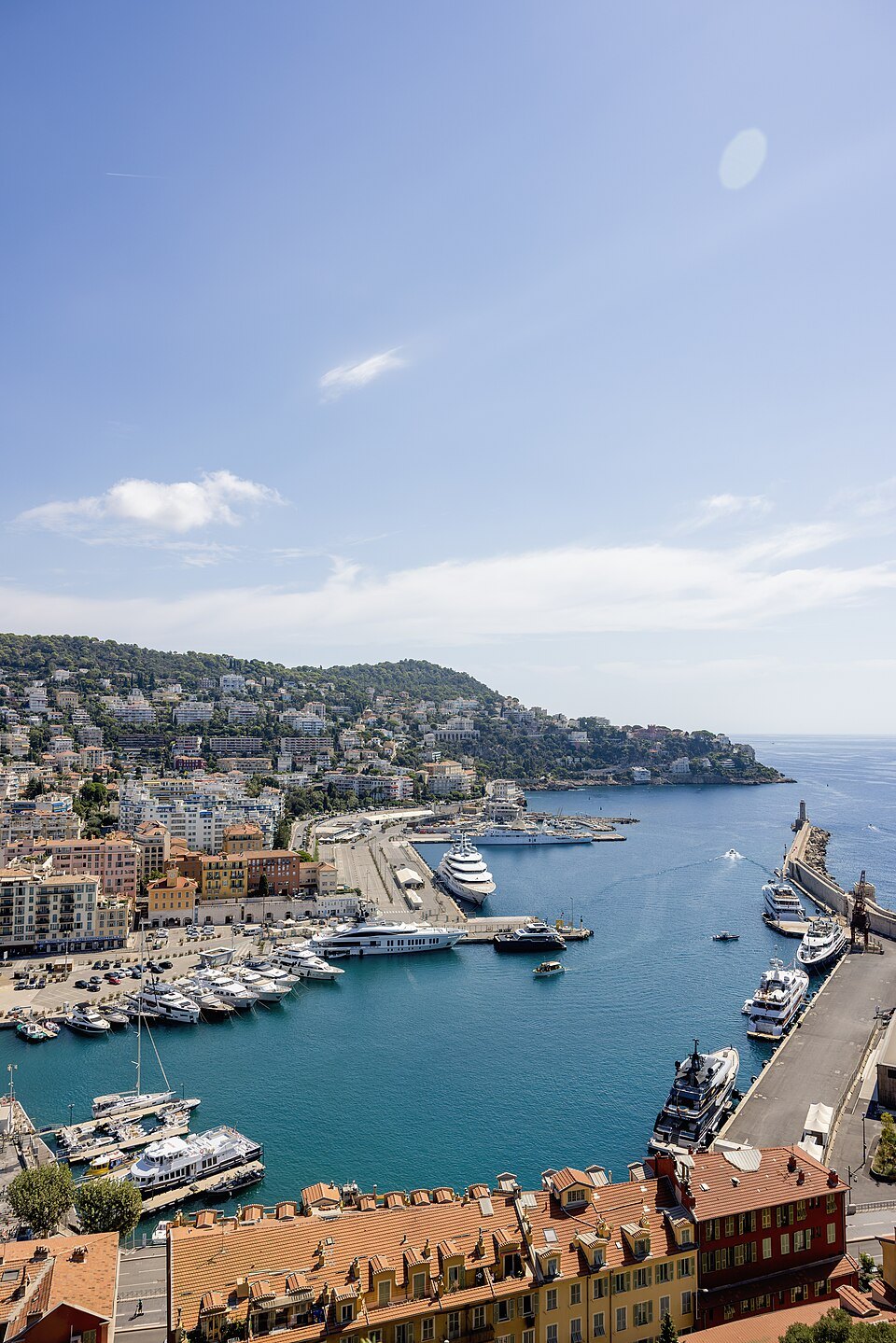
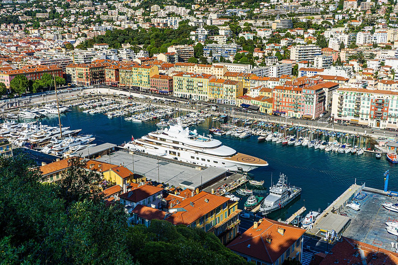
The port sits on the far side of the castle hill from the beach, which is why so many visitors never find it. It was cut into the shore in the eighteenth century, when the city finally decided it needed a harbour.
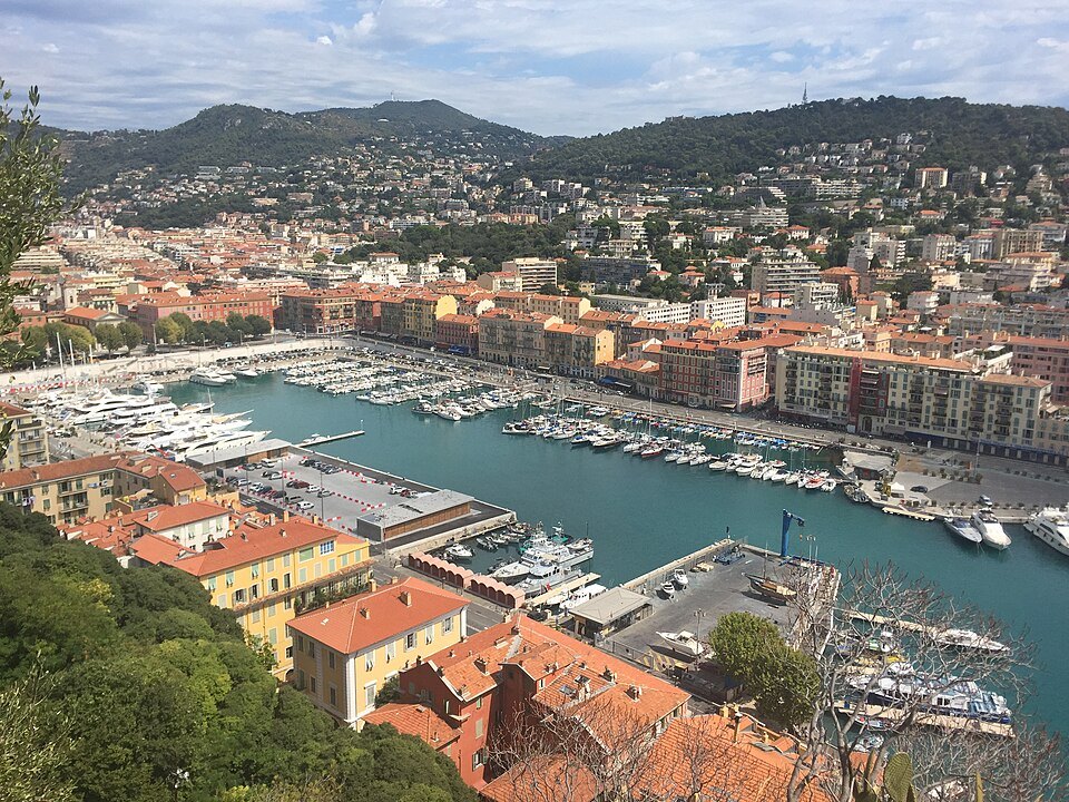
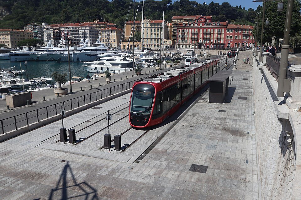
The buildings around it are the same ochre and red as the old town but taller and more regular — eighteenth-century rather than medieval — and reflected in the water they are the best photograph in Nice that is not of the sea.
What happens there
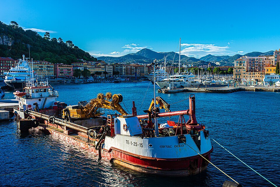
It is a working port as well as a marina: the ferries to Corsica leave from the far side, and fishing boats still tie up along the eastern quay.
Walk here over the hill rather than round it. The path from the castle terraces comes down directly above the harbour and the reveal is worth the climb.
A harbor dug out of a marsh
The name comes from the Lympia spring, which fed a small lake in a marshy hollow at the foot of the citadel. Planners had imagined a port here since the seventeenth century, but the decision came in 1748, when King Charles-Emmanuel III of Sardinia ordered it built. The first caisson of the outer breakwater was sunk on July 22, 1750, and by 1761 the first of the two basins was well dug and the breakwater reached a hundred and ten meters.
Building it took more than a century and a half. In 1770 the rock on the south side of the castle hill was cut back for the Ponchettes path, which joined the old town to the port in 1772. The inner breakwater was finished in 1792, but the quays were still missing and engineers had already realized the harbor was too small. Plan followed plan until 1840, when the city architect Scoffier's design was finally approved: a symmetrical composition around a basin enlarged to six hectares. Most of the quays and retaining walls went up between 1842 and 1860, and the Empress of Russia inaugurated the site on March 11, 1857.
The square at the head of the basin
At the northern end, the long square now called Place de l'Île-de-Beauté is the formal entrance the 1840 plan intended. In 1844 the planning board authorized three-story buildings on arcades on both sides, with facades painted reddish ochre and raised ornament around the balconies, borrowing the palette of Place Masséna and the old town; the arcades have coffered ceilings and stone-paved floors. In the middle stands the neoclassical church of Notre-Dame du Port, dedicated to the Virgin as protector of sailors and opened for worship in 1853. The facades with their arcades, the church and the monumental Dominique Truchi stairway on the Quai Cassini are all listed historic monuments. The same year, 1844, Rue Cassini was cut through to link the port with Place Garibaldi.
A working port
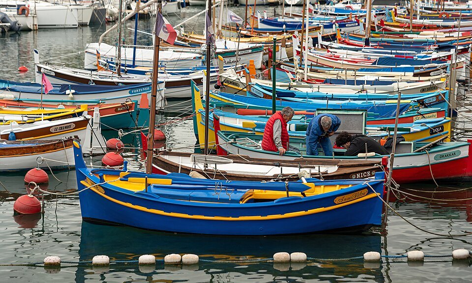
The harbor covers twenty hectares and has more than 500 berths. It is split in two: a commercial port near the entrance and a marina at the back, where traditional Niçois fishing boats, the pointus, moor alongside yachts. Nice is the point of mainland France closest to Corsica, and ferries, including high-speed ones, sail from here to the island. Less romantic but just as real, it is the leading cement port in France, shipping cement from the factories of the Paillon valleys to Corsica. A little traditional fishing survives, with fewer than ten professional fishermen left.
Look out for a 1937 harbor crane on the quay, classified as a historic monument in 2000. The Chamber of Commerce has run the port since 1863; it passed from the State to the department in 2008 and to the Nice Côte d'Azur metropolis on January 1, 2017.
The church and the lighthouse
Notre-Dame du Port was ordered by King Charles-Félix in 1830 and built from 1840 to 1853 to plans by Joseph Vernier, the architect of Place Masséna, who designed the whole square at the head of the basin. It had to be started again: the nearly finished building collapsed in 1845 because of the marshy ground beneath it. The white seaward front, with four Ionic columns and a pediment, was added only in 1896 by Jules Fèbvre, which is why it looks so different from the ochre sides. A statue of the Virgin on the pediment looks out over the harbor and the bay, and the Latin dedication reads Maria sine labe concepta. The roof fell in when the port was bombed in 1944 and was rebuilt in reinforced concrete in the 1950s. The fishermen's guilds still hold the feast of Saint Peter here.
At the end of the outer breakwater stands the lighthouse. A first, temporary light went up in 1862, and the tower moved seaward as the breakwater was lengthened; the tower built in 1928 was destroyed by a German bombardment. The present light, built in 1952, is a white square pyramidal tower with a red lantern, and it is automated.
Beyond the port
The port sits between the old town and its castle hill on one side and Mont Boron on the Cap de Nice on the other, where the three Corniche roads begin and the coast road runs on toward the bay of Villefranche. The Resquilhada festival brings regattas of lateen-sailed pointus into the harbor.
Sources
- Port Lympia — Wikipédia (French)
- Église Notre-Dame-du-Port de Nice — Wikipédia (French)
- Phare de Nice — Wikipédia (French)