What it is
Mont Boron is the wooded hill east of the port, criss-crossed by paths and largely covered in Aleppo pine. The Fort du Mont Alban sits on the ridge — a compact sixteenth-century fortification with corner turrets, built when this was a contested frontier.
Why come up
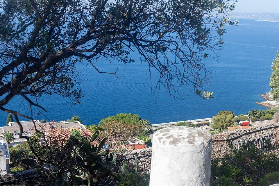
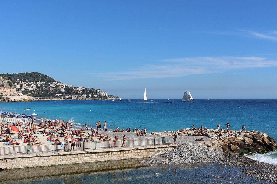
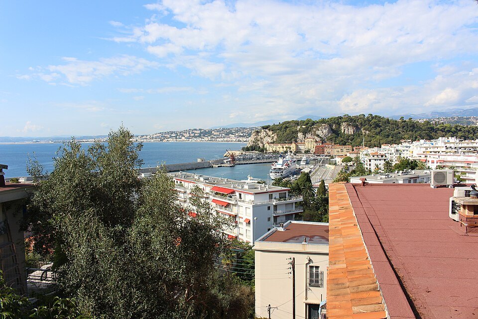
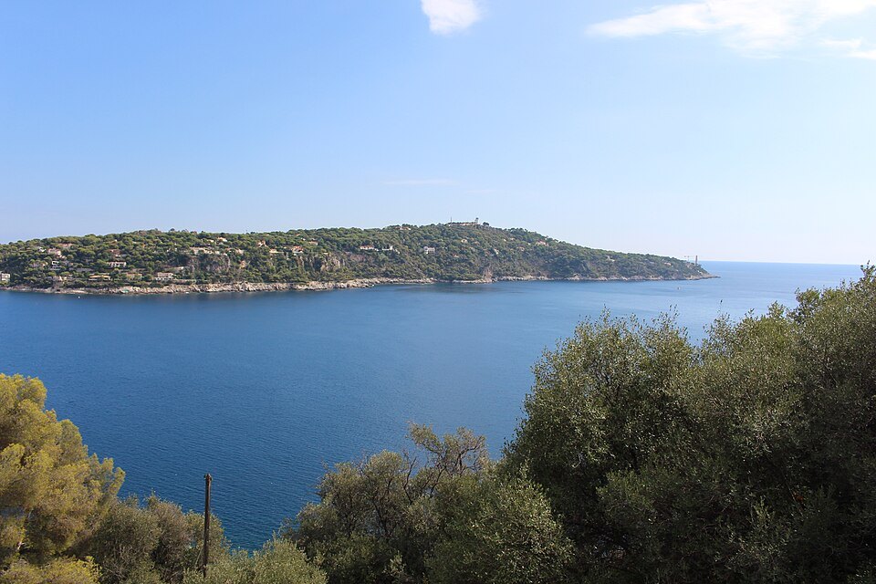
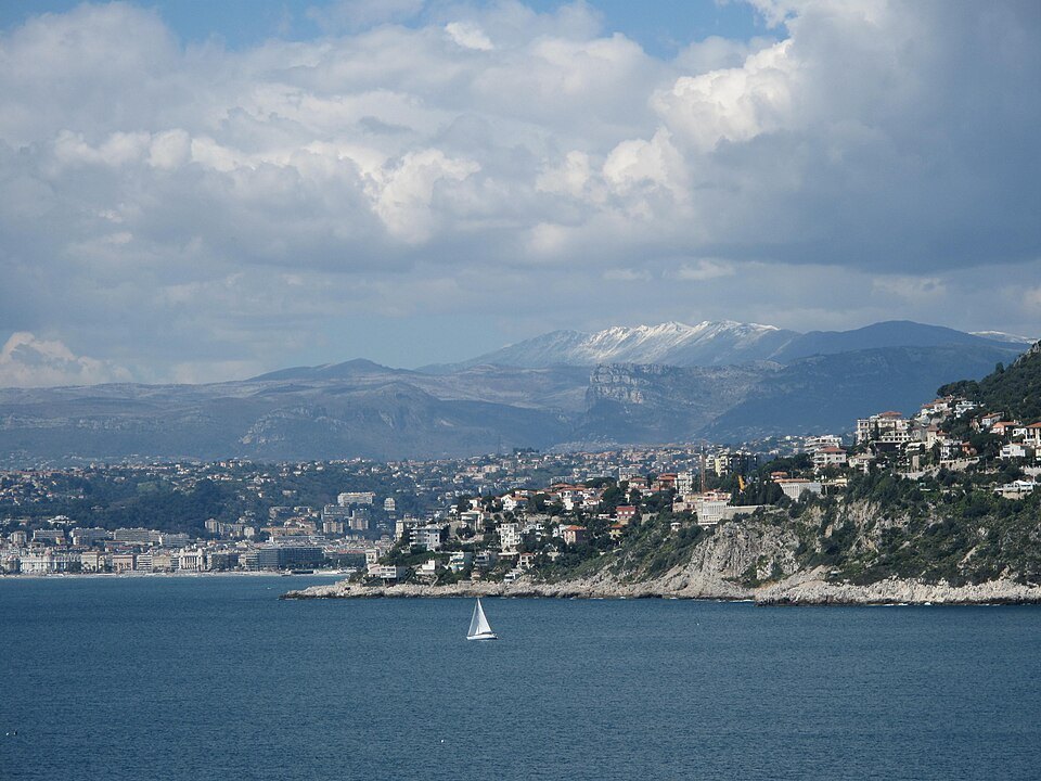
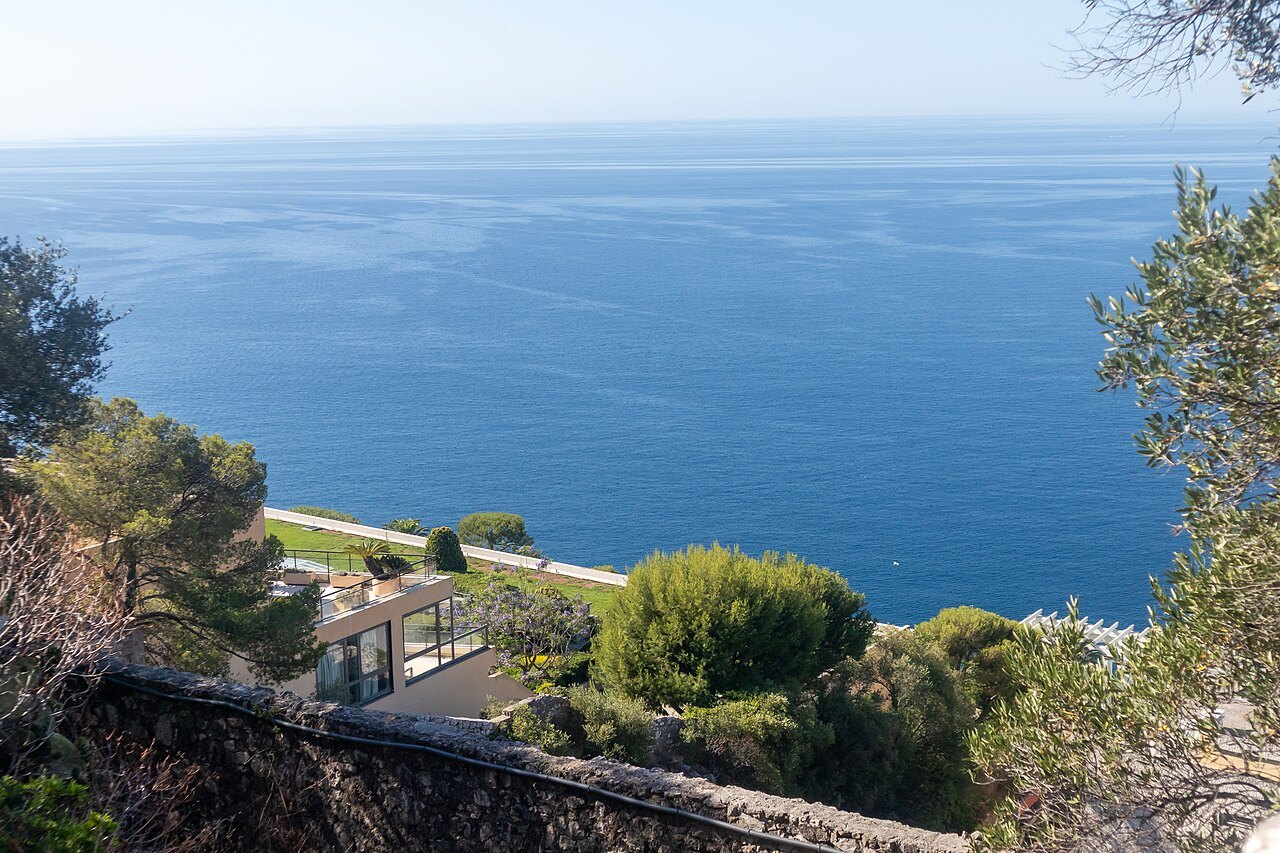
For the view in both directions: west over the whole Baie des Anges, and east along the corniche toward Villefranche and the Italian border.
It is a hill walk, in full sun on the exposed sections. Take water.
The hill and its name
Mont Boron rises 191 meters at the south-eastern edge of Nice, the seaward end of Mont Alban just to the north, and its name covers both the hill and the residential district of villas built on its slopes. Its forest of 57 hectares is the main park in the east of the city, known for viewpoints over Nice, the bay of Villefranche and Cap Ferrat.
Where the name comes from is uncertain. In 1843 the Nice writer Louis Roubaudi offered two explanations. One derives Boron from Moron, from the Latin words for the Moors or Saracens, who are said to have fortified the hill in the Middle Ages. The other traces it to Bobon, a hermit saint who is supposed to have urged the people of Nice to drive the Saracens out; Mont Alban, in this version, would be the mount of the Whites, from which they attacked.
The fort on the ridge
The Fort du Mont Alban is one of the few mid-sixteenth-century military buildings in France still in good condition. After the siege of 1543 damaged Nice's defenses, Duke Emmanuel-Philibert of Savoy decided to strengthen his sea frontier with a new fort between the citadel of Villefranche and the castle of Nice. The first stone was laid on April 5, 1557, and the work, designed by the engineer Domenico Ponsello, was finished by 1560. Its name probably refers to the white limestone of the site.
It stands 220 meters up on a rectangular plan about 40 by 46 meters, with ramparts pierced for guns and sharply projecting corner bastions shaped like the ace of spades, each with a stone sentry box; it held a garrison of about fifty soldiers. It surrendered without a fight to Catinat's army on March 21, 1691, changed hands again in the wars of the eighteenth century, and was taken by the French in 1792. In 1800 its encircled republican garrison sent messages across the Var by optical telegraph, and on May 28, 1800, it fired its last shot. The fort's walls were protected as a historic monument in 1909 and 1913, and a 250-meter zone around it in 1923.
In August 1927 it was surrounded by a huge wildfire that swept the hills of Nice. During the Second World War it held Italian and then German military signal posts, and Allied warships shelled it, without hitting it, on August 25, 1944. A television relay was installed in 1958. The city took it over in 2007 and it first opened to the public in 2010; the view from its walls runs west across the bay as far as the Esterel and east to the Italian Riviera.
A battery and a Mughal folly
Lower on the hill is a later fortification, the Mont Boron battery, an enclosure 400 meters long built in 1886–1887 to protect both the Baie des Anges and the bay of Villefranche.
On the western slopes, above the port, stands the most eccentric house in Nice, the Château de l'Anglais. It was built from 1856 for Robert Smith, a colonel of the British engineers in India, on a plot of 22,000 square meters, in an eclectic style inspired by Mughal architecture; its battlements imitate the Red Fort in Delhi, which Colonel Smith had restored. Opinion was divided from the start: one writer of 1861 called it the nightmare of classical architects, another in 1877 an admirable villa of everything the imagination could dream. It was later split into lots and, after the Second World War, apartments; it has been a listed monument since 2000.
Below the main house is its old music room, a circular rotunda under a dome pierced with openings to let in daylight, once reached by a double spiral staircase from the château. Its neoclassical decoration is a deliberate contrast with the exotic house above. The rotunda was cut off from the château when the estate was divided in 1949, and after a long period of neglect it was bought in 2023 by private owners, who are having it restored; a 1950s villa built against it is due to be replaced by a new house set back from the cliff.
Prehistory at its foot
At the foot of Mont Boron is the Grotte du Lazaret, a prehistoric site of the Middle Paleolithic that once gave its name to the neighborhood below. The poet and politician Paul Déroulède died on the hill on January 30, 1914.
Sources
- Mont Boron — Wikipédia (French)
- Fort du mont Alban — Wikipédia (French)
- Château de l'Anglais — Wikipédia (French)