What it is
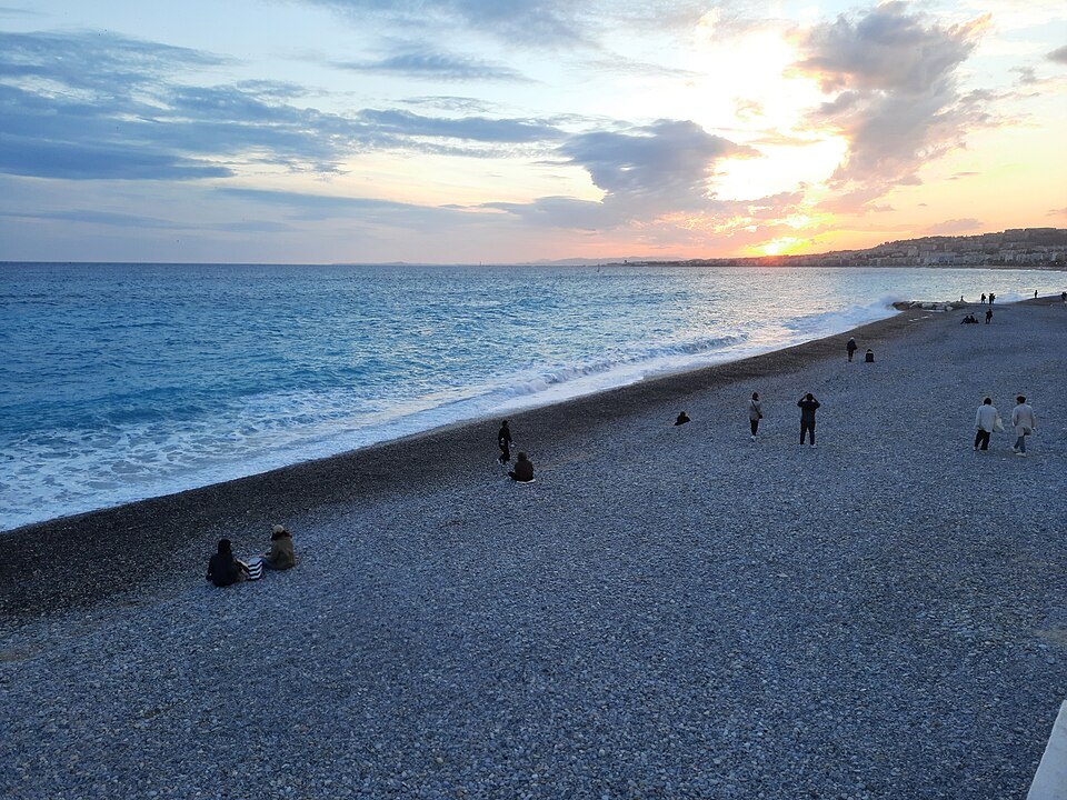
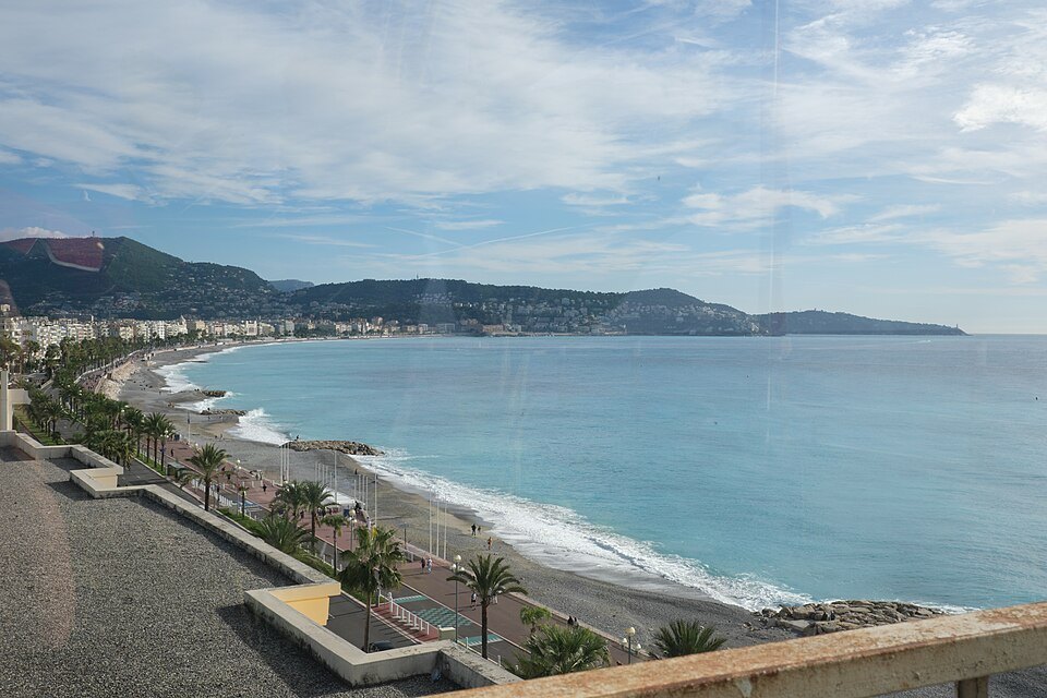
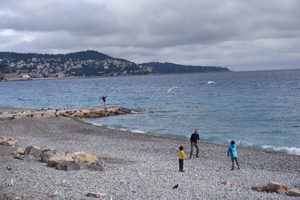
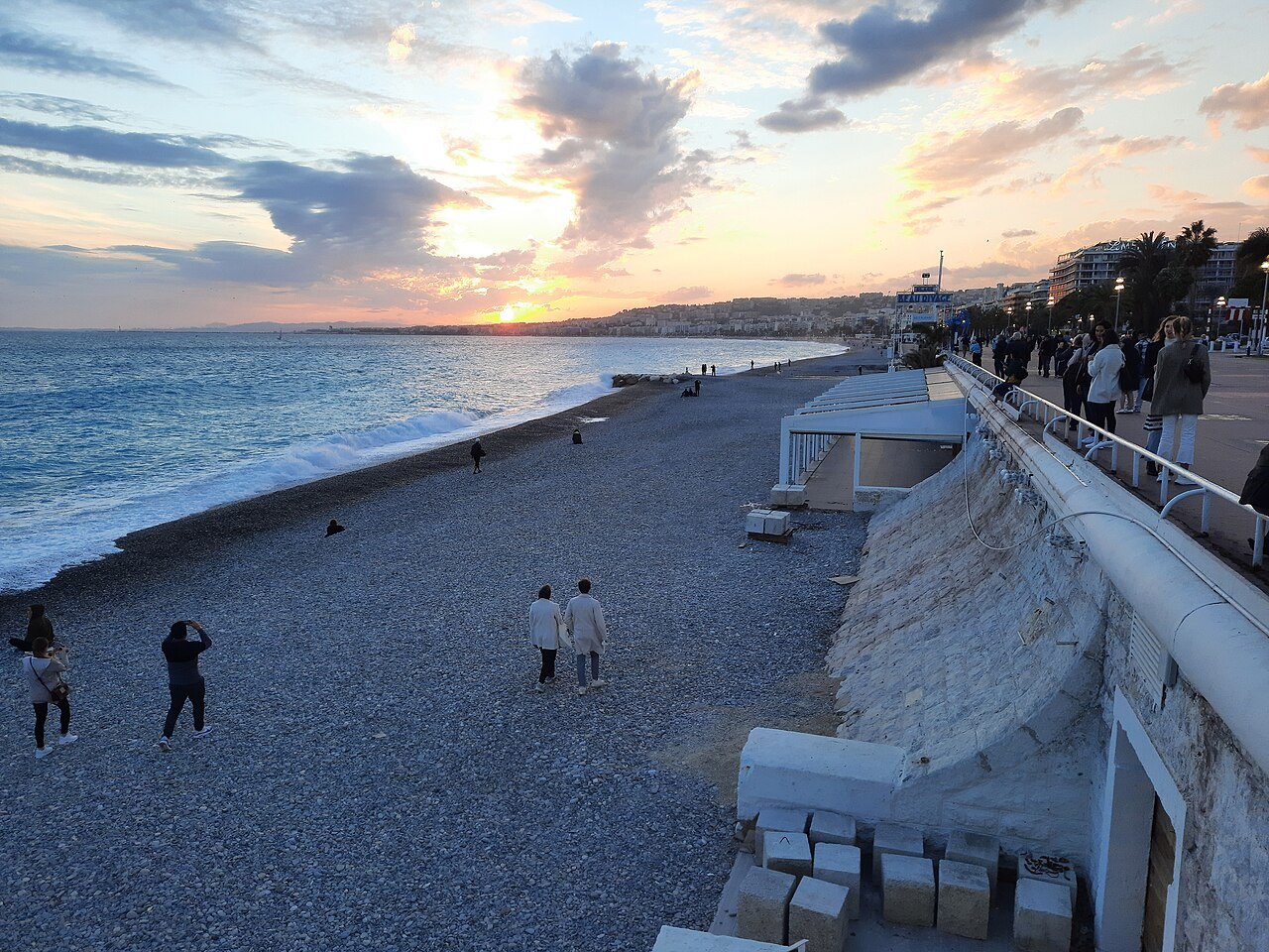
The Promenade runs the length of the Baie des Anges, from the airport end to the foot of the castle hill. On one side the sea and a beach of large grey pebbles; on the other a wall of Belle Époque hotels and villas, white and cream and wedding-cake ornate.
The name is literal. Nice had become a wintering place for wealthy English visitors, and after a hard winter in the eighteen-twenties an English clergyman organised a subscription among them to pay for a proper path along the shore. The French called it the chemin des Anglais, and the name stuck when the path became a boulevard.
Walking it
It is a walk, not a sight — the point is the length of it. The seaward side has the famous blue chairs, and the light in the late afternoon does something to the water that explains why so many painters came and did not leave.
The beach is pebbles, not sand, and they are big. Anyone who has arrived expecting sand has watched somebody discover this the hard way.
Where it sits
East it becomes the Quai des États-Unis and runs under the castle hill; behind it are Place Masséna and the old town.
From a dirt path to a seven-kilometer boulevard
The first version was modest: a path about two meters wide, of earth and stones, running from the right bank of the Paillon toward the Croix de Marbre district. The British who wintered in Nice built it between 1822 and 1824, and the cost is usually credited to the Reverend Lewis Way and members of Holy Trinity, the city's Anglican church. One version of the story says the idea came after a hard winter brought crowds of beggars into the town, and that the walkway was a way to give them work.
The city saw the potential and took the project over. A town plan of 1832 already foresaw a seaside road from the mouth of the Paillon to the Magnan valley, and the municipal architect Antoine Scoffier drew a route close to the present one. Work on the first stretch began in 1844, raised five meters above the sea. In 1854–1856, while Nice still belonged to the Kingdom of Sardinia, it carried the Italian name Lungomare degli Inglesi; it took its French name after the annexation of 1860.
Later it was widened by eleven meters to make room for an avenue with a double row of trees. It kept growing west: to Sainte-Hélène in 1878, to Carras in 1882 and finally to the river Var in 1903. Rebuilding between the Opéra and the boulevard Gambetta in 1929–1931 gave the central section the look it still has.
Hotels that turned their backs on the sea
The early grand hotels and villas along the front, including the Negresco, the Royal and the Villa Masséna (now the Musée Masséna), had their entrances on the town side. In the nineteenth century Nice was a winter resort: visitors came for the mild, dry season, and the sea was something to look at, not to swim in. Over time most of the villas and their gardens gave way to palace hotels, casinos and apartment buildings, which is why the architecture changes so much from one block to the next.
Racing cars and landing lights
The smooth surface made the Promenade a place for speed. During the Semaine de Nice motor-racing week, Léon Serpollet set a land-speed record over a flying kilometer here on April 13, 1902, driving a steam car at just over 120 kilometers per hour. Between 1932 and 1947 the Promenade formed part of the Nice Grand Prix circuit seven times, between the Quai des États-Unis and the Negresco.
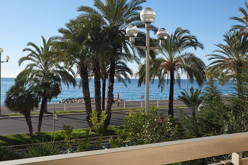
Look at the streetlamps at night: they light the sky as well as the pavement. On days with a west wind, aircraft approaching the airport at the far western end follow the curve of the bay and use the line of lights as a guide, so the planes come in low over the water rather than over the city.
Cycling is part of it too. The Tour de France team time trial was held here on July 2, 2013, and in 2024, because of the Paris Olympics, the Tour finished on the Promenade instead of the Champs-Élysées.
July 14, 2016
On the evening of Bastille Day 2016, a truck was driven deliberately into the crowd that had gathered on the Promenade to watch the fireworks. Eighty-six people were killed and 458 were injured. It remains the second-deadliest attack carried out in France, after the attacks of November 13, 2015.
The Prom today
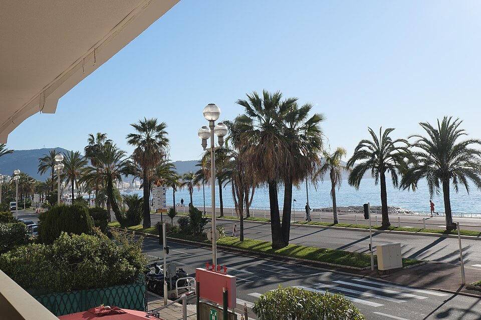
To people in Nice it is simply the Promenade, or the Prom. On the sea side runs a dedicated bike lane, and the wide sidewalk fills with joggers, in-line skaters and families, especially on Sundays; a near-constant breeze off the bay helps. The famous blue chairs are the Promenade's signature, and a large sculpture of one by Sabine Géraudie stands near the Jardin Albert-Ier.
On July 27, 2021, the Promenade was inscribed by UNESCO as part of the World Heritage listing of Nice as the winter resort town of the Riviera. Be ready for traffic, though: on the town side the road is an urban highway with three lanes in each direction for much of its length, and you cross it at the lights.
Sources